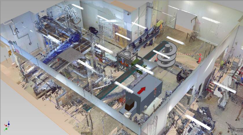
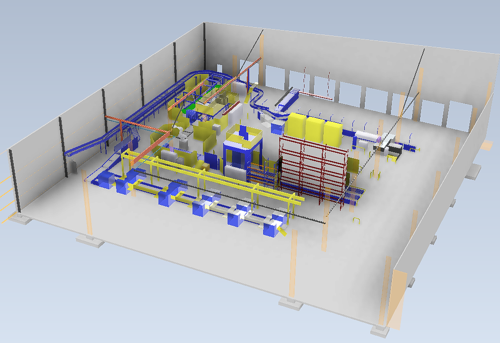
Using Faro terrestrial laser scanners, we capture highly accurate point clouds of large industrial and built environments.Typical applications include: Factory and production line layout design Building works design and refurbishment planning As-built 3D models and drawings Clash detection and spatial verification Infrastructure and civil works planning View Past Projects Deliverables:Dense point clouds3D meshesCAD-compatible files, including clash detection and spatial analytics Benefits:Slash on-site timeEnhance accuracy in planningMaintain detailed records for future projects Suitable For: Factories and manufacturing plants Warehouses and logistics centres Buildings and plant roomsCivil construction and infrastructure projectsFacilities management teams Data you can trustWhy Choose Our 3D Laser Scanning Team?